
Kirinyaga Governor Anne Waiguru has rolled out a comprehensive digital land mapping and geo-referencing exercise aimed at restoring order in urban centres, resolving historical land allocation disputes.
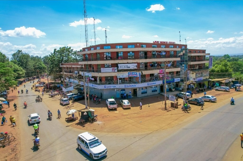
The exercise which has entered its second week at Kutus and Kagio town is being undertaken in phases and also aimed at strengthening planning and revenue systems.
Governor Waiguru has consistently maintained that protecting public land is central to development, with the ongoing exercise playing a critical role in ensuring that every piece of land is properly owned and documented accordingly.
“Safeguarding public land from being grabbed is important because such land is meant to serve the collective good, not private interests,” she said, noting that proper land management supports infrastructure, housing, industrial growth and environmental conservation.
The exercise will also cover Wang’uru, Kianyaga, Kerugoya, Baricho and Sagana towns.
County Executive Committee Member (CECM) for Lands, Physical Planning and Urban Development, Rev. Samuel Kanjobe, said the programme is anchored on legal and planning frameworks that ensure compliance and transparency.
“According to the law, such an exercise must be guided by critical documents including the County Spatial Plan and for specific areas, a zonal plan. For Kerugoya-Kutus municipality, we are using the Urban Economic Plan to guide this process,” said Kanjobe.
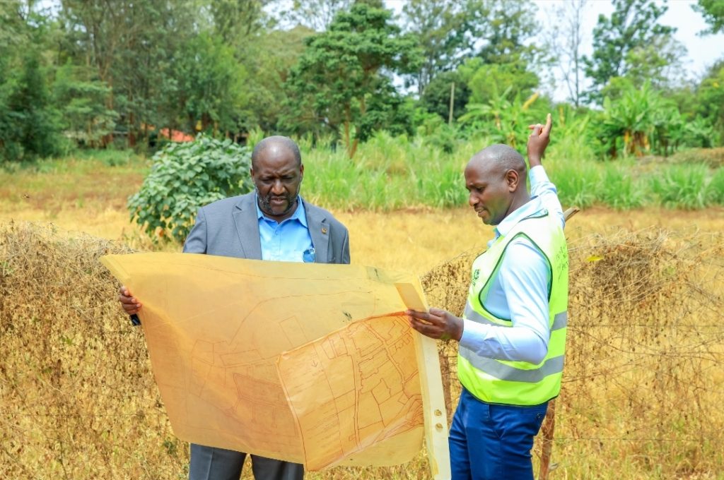
He explained that the ongoing pre-mapping exercise involves capturing precise geographical coordinates for every plot.
“As we map the plots, we are picking their exact coordinates so that wherever you are in the world, you can identify where a specific plot is located and who the owner is,” he said, noting that such level of accuracy enhances transparency and accountability.
The CECM noted that the initiative will help in easy identification of plots, strengthen planning and development control, and improve revenue collection.
“There has been a misleading notion that Kirinyaga has over 23,000 plots according to our register, yet physically that number does not exist. Through actual mapping, we will be establishing the true number of plots on the ground,” he pointed out.
The CEC said the exercise is also critical in resolving long-standing land ownership anomalies inherited from the defunct local authorities.
“In Kutus, Wanguru, Kianyaga, Kerugoya, Baricho, Kagio and Sagana, land was acquired for town expansion and original owners were compensated, particularly with alternative land in Mwea areas such as Gathigiriri, Marurumo, Dindiruku and Ngushu,” he explained. “However, surrender of title deeds was not always properly done, leaving some parcels still under old registration regimes.”
He added that in some cases, individuals only hold minutes from the former local authority instead of proper documentation.
“As the successor to the defunct local authorities, we bear both the assets and liabilities. We must regularize these parcels to protect genuine landowners and safeguard public interest,” Rev. Kanjombe said.
The mapping drive is also tackling cases of double allocation that have at times caused confusion and disputes.
“In towns like Wanguru and Kutus, you may find a single plot with multiple allotees. Some pay land rates while others do not. This exercise is helping us resolve such double allocations conclusively,” he stated.
He noted that the mapping exercise nearing completion in Kutus and Kagio with final validation round scheduled to be undertaken before rolling out to other townships.
The digital mapping initiative complements the county’s ongoing efforts to safeguard and recover public land.
In recent years, the County Government repossessed over 800 acres of grabbed public land valued at approximately Ksh.1 billion, land that had been earmarked for hospitals, markets, police stations, schools, dams and other public utilities.
On the ground in Kutus, community leaders have praised the mapping exercise, describing it as transparent, lawful and long overdue.
Mugo Murage, a Kutus resident and elder, said residents were well informed before the exercise commenced.
“When the county government announced the land mapping exercise, we ensured members of the community understood its purpose,” Murage said. “It is meant to help in urban planning and ensure that everyone retains their rightfully owned land.”
He reassured residents that the process poses no threat to legitimate landowners.
“I want to assure all residents that this is a legally sanctioned exercise. No one will lose their land and the county government is not grabbing anyone’s property,” he said. “This exercise was long overdue and we are grateful that it is finally happening under Governor Anne Waiguru.”
Johnston Gitau Njoroge, another Kutus resident and village elder, said the exercise has already provided critical data for infrastructure planning.
“It has helped us see where sewer lines are and where they should be, giving accurate information needed to plan a proper sewerage system for Kutus town,” Njoroge said.
George Ng’ang’a, also a Kutus resident and village elder, said local leaders accompanied county officials during the fieldwork to build public confidence thus improving the efficiency of the process.
“We have walked with the county teams on the ground, explaining the importance of this exercise to residents,” Ng’ang’a said. “It has been very successful and we look forward to the development that will follow.”