At the National Land Commission Research Conference, I delivered a simple message: Kenya’s land is finite, but our capacity to understand it, innovate around it and use it more productively is not. As Kenya takes the trajectory beyond 2030, land becomes a vital asset on socioeconomic transformation.
Land underpins virtually every national priority—food security, housing, manufacturing, transport, energy, tourism, environmental conservation and digital infrastructure. Yet demand for this resource is rising rapidly. Kenya’s population is projected by the Kenya National Bureau of Statistics at 54.23 million in mid-2026, while about 32% of Kenyans now live in urban areas.

The pressure is even clearer when we consider that Kenya covers approximately 582,646 square kilometres, but historically only about 20% has been classified as medium- to high-potential agricultural land, with much of the remainder being arid or semi-arid.
The question, therefore, is not simply how much land Kenya has. It is: How intelligently, equitably, productively and sustainably are we using every hectare?
Our Constitution already provides the compass. Article 60 requires land to be managed equitably, efficiently, productively and sustainably, with secure rights, transparent administration and protection of ecologically sensitive areas. Article 66 empowers the State to regulate land use in the public interest, including for land-use planning, while Article 67 expressly mandates the National Land Commission to conduct research on land and natural-resource use and monitor land-use planning.
Research, technology and innovation must now help us translate these constitutional principles into measurable outcomes. I always empathize on the socialization of science and on matters of natural resources it becomes even more relevant.
This is consistent with Kenya Vision 2030, which identifies land reform, computerized registries and national spatial-data infrastructure as foundations of economic transformation. It is equally critical to the Bottom-Up Economic Transformation Agenda (BETA) and Fourth Medium Term Plan 2023–2027, whose priorities—agriculture, affordable housing, MSMEs, healthcare and the digital economy—all ultimately require well-planned land.
The next transformation must move Kenya fully from paper to platforms and from reactive administration to predictive land governance.
Emerging technologies make this possible. Earth-observation satellites can continuously monitor urban expansion, agricultural land, forests, wetlands, water resources and environmental degradation. Drones can provide high-resolution mapping for surveying, infrastructure and disaster assessment. Artificial intelligence and machine learning can analyse satellite imagery, cadastral information, population data and development patterns to identify encroachment, informal settlements, flood risks and future growth corridors. We have relevant institutions we must move from talking to doing.
The Internet of Things can connect soil-moisture sensors, weather stations and water-monitoring systems to support precision agriculture. Digital twins can create virtual representations of cities and infrastructure, enabling planners to test the implications of new roads, housing developments, industrial zones or drainage systems before construction begins. Blockchain and other secure digital technologies can also strengthen integrity, traceability and confidence in land transactions.
This is not technology for technology’s sake. It is technology for better governance and better lives – application of technology and innovation.
Our counties should use AI and geospatial intelligence to predict where settlements will grow over the next 20 years and reserving land today for roads, schools, hospitals, green spaces and industries. Our farmers should receive satellite-based information on soil health, rainfall, crop stress and water requirements in a timely and consistent manne. With Tech, our investors can determine quickly and transparently whether land is legally available and appropriately zoned. That is the Kenya we must build. This is how things are being done in countries we want to emulate.
A turn around in our universities is required where research must also leave university shelves. Universities and research institutions should generate evidence; innovators and start-ups should develop solutions; industry should help commercialize them; and government should create pathways for adoption.
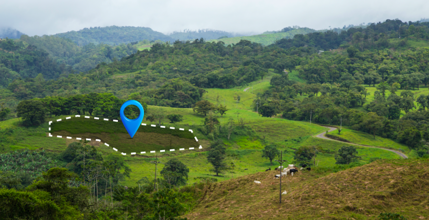
The National Land Commission, ministries, county governments, universities, research institutions and the private sector should therefore work towards one interoperable national land and geospatial-data ecosystem, building on the national aspiration for GIS-based land-information management and spatial planning.
Technology must, however, remain people-centred. Land carries history, culture, identity and livelihoods. Digital platforms should strengthen public participation by enabling citizens to see proposed plans, understand their implications and contribute local and indigenous knowledge.
Prof. Shaukat Abdulrazak is the Principal Secretary for Science, Research and Innovation.